As
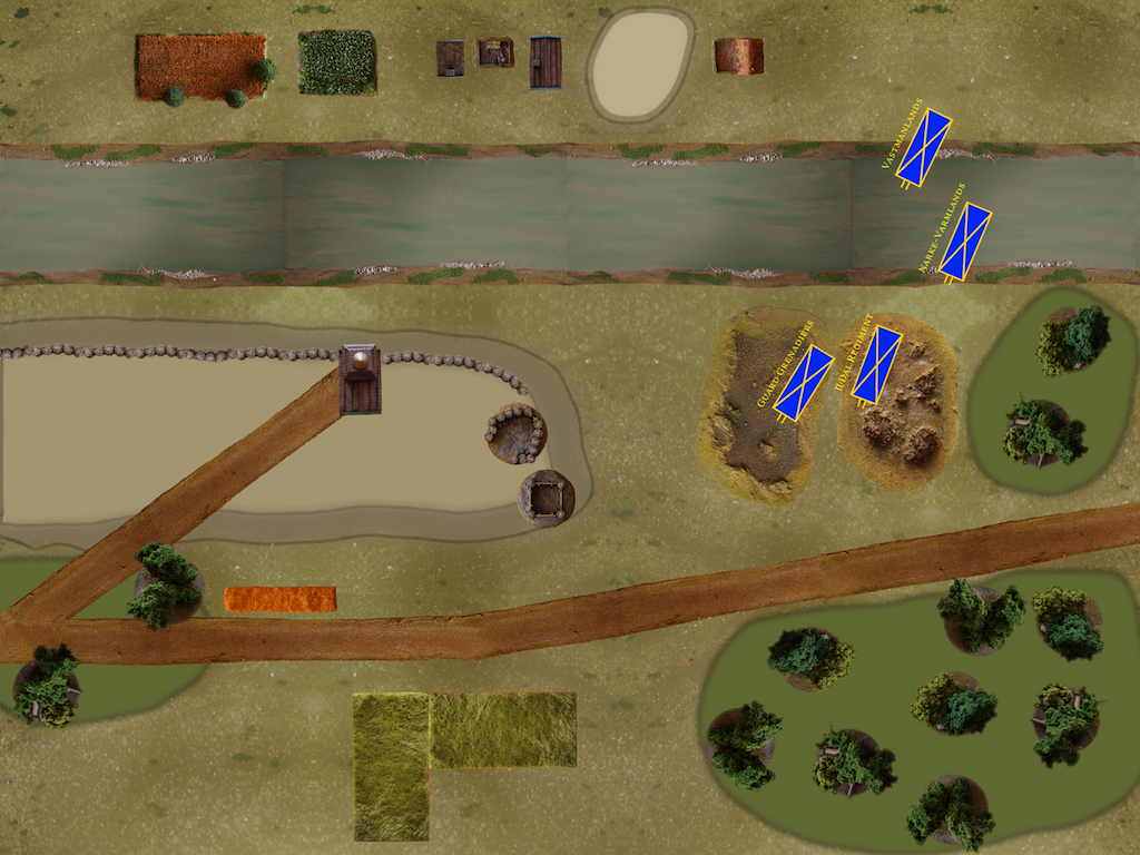
mentioned yesterday, I have been experimenting with a new way of drawing maps for scenarios. It basically consists of a mix of drawn features and photos of actual terrain pieces. Here's the first result, a map for the Holowczyn game with the first four Swedish units already on:

It still needs some work, such as (obviously) adding all the other units and blending in the photos a bit more, but it is finished enough to give an idea of the final look. Comments appreciated!

Very impressive! Can you get the hills to stand out more? They look a bit flat - assuming they are hills...
ReplyDeleteYes, they are hills :). They are indeed the part I'm least satisfied with. In the game, the big hill was made with a rolled up blanket under the game mat, so that's a bit difficult to photograph :). I'll have to think a bit on how to make the hills stand out more.
ReplyDelete